Middle Sister Climb June 28-29, 2014

 My first scheduled official Mazamas club climb for this season was cancelled due to weather.  The first that actually took place was Middle Sister on June 28-29, 2014.  Here are some photos from the trip.
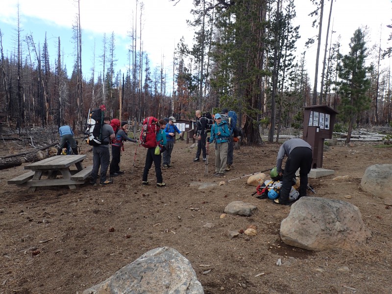
 

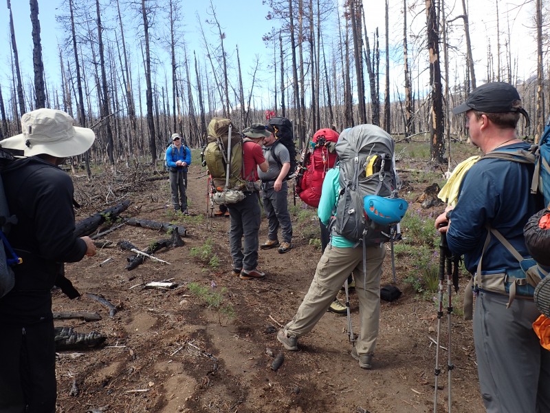
We started at the Pole Creek Trailhead, several miles southeast of the town of Sisters.  This area was burned several years ago during the Pole Creek wildfire, and still shows the effects

We started at the Pole Creek Trailhead, several miles southeast of the town of Sisters. This area was burned several years ago during the Pole Creek wildfire, and still shows the effects

OLYMPUS DIGITAL CAMERA

Off we go

We set up camp at the base of Hayden Glacier, which runs down the east side of the saddle between Middle and North Sisters
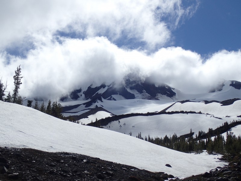
We set up camp at the base of Hayden Glacier, which runs down the east side of the saddle between Middle and North Sisters

The summit is in the clouds during the evening before summit day, but the weather forecast said it would clear during the night

The summit is in the clouds during the evening before summit day, but the weather forecast said it would clear during the night

The view of North Sister from my tent at 4 AM the next  morning shows the forecast was accurate

The view of North Sister from my tent at 4 AM the next morning shows the forecast was accurate

The team assembles to start the climb

The team assembles to start the climb

We head up the Hayden Glacier.  Middle Sister is the summit to the left, already in sunlight

We head up the Hayden Glacier. Middle Sister is the summit to the left, already in sunlight

We arrive at the top of the saddle, on the ridge running along the spine of the Cascade Mountains

We arrive at the top of the saddle, on the ridge running along the spine of the Cascade Mountains. The Willamette Valley is to the west, and Central Oregon is to the east

The view to the north: North Sister is very close; Mt. Washington, Three Fingered Jack, Mt. Jefferson and Mt. Hood poke through the clouds.  Mt Adams is barely visible in the far distance (hard to see in photo)

The view to the north: North Sister is very close; Mt. Washington, Three Fingered Jack, Mt. Jefferson and Mt. Hood poke through the clouds. Mt Adams is barely visible in the far distance (hard to see in photo)
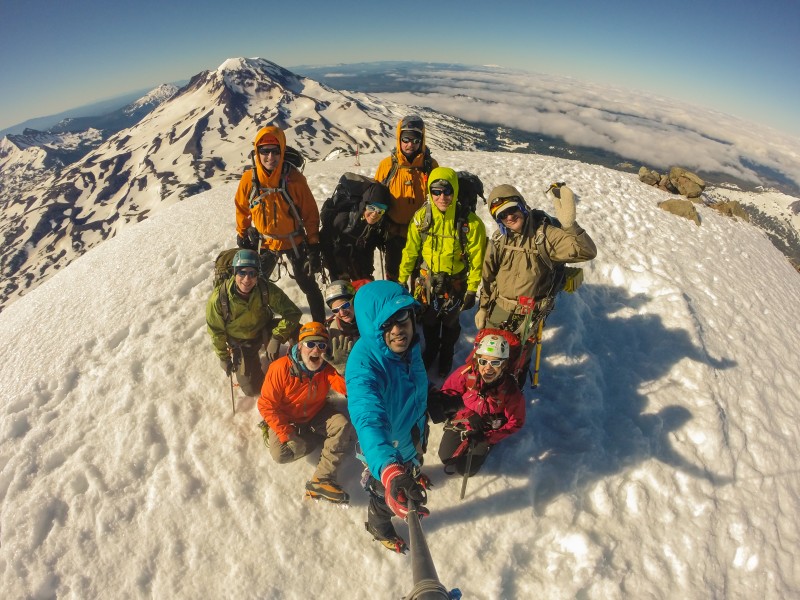
"Formal" summit shot

“Formal” summit shot

Cool fisheye lens photo taken by another team member with his GoPro; South Sister in the background.  We could see as far as Mt. Shasta

Cool fisheye lens photo taken by another team member with his GoPro; South Sister in the background. We could see as far as Mt. Shasta to the south
Middle Sister as seen from Pilot Butte in Bend

Middle Sister as seen from Pilot Butte in Bend


Interactive Google Earth Track of the climb. Blue track is Day 1; red track is Day 2:

Leave a Reply